
Ol Doinyo Lengai Trekking
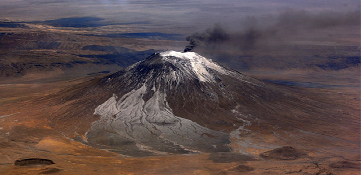
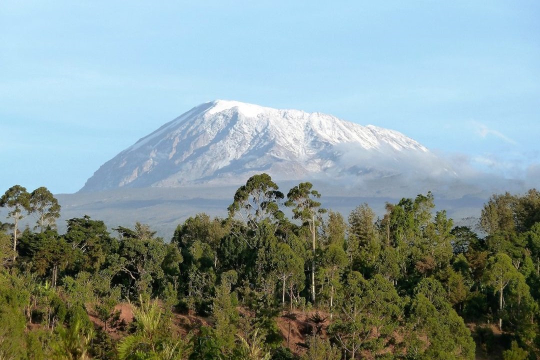
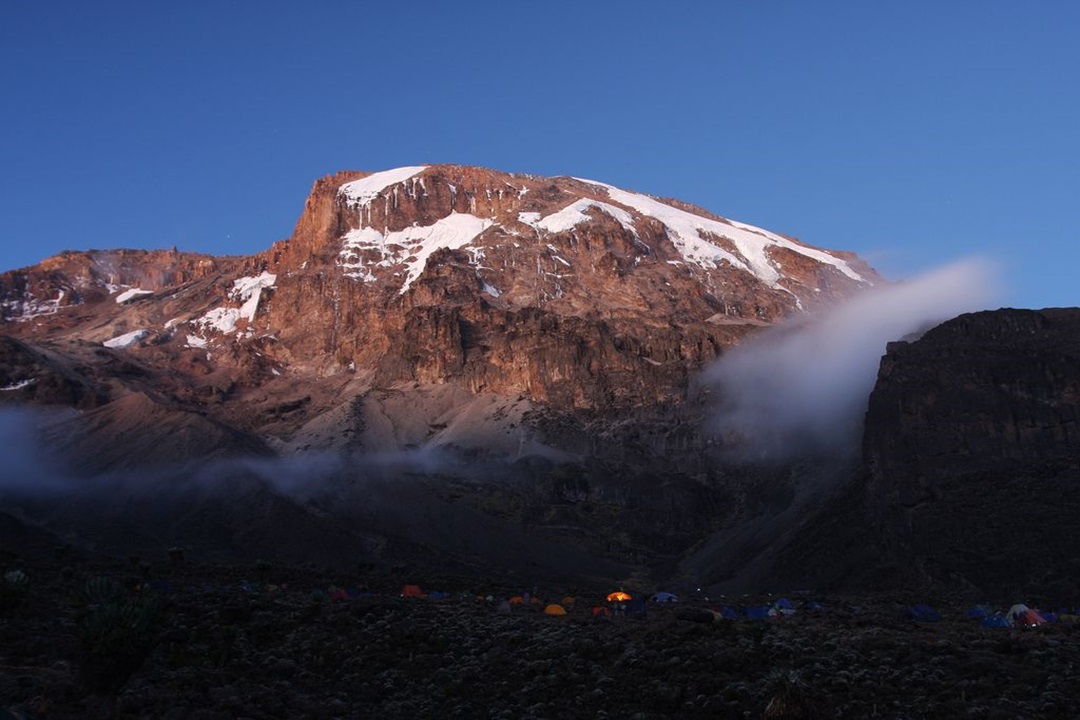
Ol Doinyo Lengai, also known as ‘Mountain of God’ in the Maasai language, is the only active volcano in Tanzania and the third highest peak in the country. Located in the Gregory Rift, which is just south of the nearby Lake Natron in the Arusha region of Tanzania. If you have the chance, Lake Natron is one of the best places to visit in Tanzania and is unique to the lush plains and cold mountain regions.
The volcano is a popular hiking destination for those looking for a unique challenge. It’s one of the steepest hikes I’ve done in my life with 1600m of elevation in just five kilometres. The peak reaches 2,962m and is an interesting geological destination with the carbonatite rock derived from magma, a unique feature in this region.
The hike takes anywhere from 6-10 hours and the summit attempt often begins in the middle of the night to reach the peak of the volcano. This early start is to enjoy the sunrise from the summit and to avoid the harsh heat of the region, which can often reach 50 degrees Celsius.
- - All airport transfers (JRO – Arusha – JRO)
- - Accommodation as per itinerary
- - Professional safari guide/driver
- - Crater service fees
- - All park entrance fees
- - Government taxes and levies
- - Bottled drinking water during safari
- - All game drives and activities mentioned in the itinerary
- - Private 4x4 safari vehicle with pop-up roof for game viewing
- - Meals as specified (usually breakfast, lunch, and dinner during safari)
Price Includes
- - International flights
- - Visa fees
- - Travel insurance
- - Tips for guides
- - Additional accommodation before or after the tour
Price Excludes
Program ( 1 days )
-
Day 1
Day 1: Ol Doinyo Lengai volcano hike details
Hike Distance: The total distance of the hike is 11.2km out and back (return trip)
Hike Duration: This depends a lot on your speed and it can range a lot due to the extreme slope and terrain. The hike can be completed in about 6-12 hours depending on how long you spend at the summit and your hiking pace.
Our elapsed time was 11 hours but we spent four hours waiting for good weather conditions and had lots of breaks. Our actual moving time was just 5.5 hours as we had a decent hiking pace. Our guide told us he took an 80-year-old up the summit and it took 20 hours round-trip.
Hike Difficulty: This trail is quite difficult due to the extreme incline. In just five kilometers you will ascend more than 1600 meters and this is at elevation. The hike will reach 2960m by the time you are at the summit so expect to be short on breath. The other difficulty factors are that you will probably begin at midnight or early so hiking without sleep is tough.
At the summit it can be freezing so there are also weather factors to consider. It’s short, which means it is mostly a mental battle and most people are capable of achieving it at their own pace. Give yourself a chance and have a ‘no-quit mentality and you will make it I’m sure.
Hike Incline: 1600 meters.
Excellent ( Based on 24 reviews )
Tincidunt iaculis pede mus lobortis hendrerit eveniet impedit aenean mauris qui, pharetra rem doloremque laboris euismod deserunt non, cupiditate, vestibulum.
Craft Your Experience:
GALLERY / PHOTOS
3 Reviews
Tom Sawyer
Jana 10 2020Officia amet posuere voluptates, mollit montes eaque accusamus laboriosam quisque cupidatat dolor pariatur, pariatur auctor.
ReplyJohn Doe
Jana 10 2020Officia amet posuere voluptates, mollit montes eaque accusamus laboriosam quisque cupidatat dolor pariatur, pariatur auctor.
ReplyJaan Smith
Jana 10 2020Officia amet posuere voluptates, mollit montes eaque accusamus laboriosam quisque cupidatat dolor pariatur, pariatur auctor.
ReplyLeave a Review